May 31, 2022
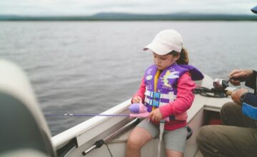
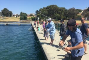
When we think about targeting kingfish in the bay, there’s one place that’s at the top of our minds: the Rip. The ‘canyons’ in the Rip provide an ideal structure for kingfish, making it an absolute hotspot for recfishers keen to reel in a king.
To increase fishing opportunities in the bay, the Victorian Fisheries Authority have recently deployed artificial reef modules to attract kingfish and other pelagic fish inside Port Phillip Heads, north of Observatory Point. This location was chosen to ensure boats can safely fish for kings off the reefs away from the shipping channel.
The artificial reef is made up of sixteen reef modules, arranged in clusters of four about 50m apart. Each module is four metres wide, five metres high and shaped like an open pyramid. They are made from a durable, environmentally friendly cement.
Anglers have long known the importance of structure and its impact on our fishing through providing new fishing opportunities and improving the marine environment. The new artificial reef can assist in improving water quality, provide vital habitat for fish and boosting fish stocks.
The Victorian Fisheries Authority will monitor the reefs over the next 12 months to assess the impact the reef is having on the bay environment.
The artificial reef was funded by the Andrew Labor Government through a 2018 election commitment to create more fish habitat in Port Phillip Bay and formed part of their Go Fishing Victoria program, formerly called Target One Million.
The new artificial reef will complement the rocky reefs that were installed in Corio Bay last year and the shellfish reefs that continue to be restored across the bay.

LOCATION OF REEF
The reef is located approximately 800m north of Observatory Point within Port Phillip Bay, 2.3 km east-northeast of Point Nepean and 3.8 km north west of Portsea.
The Victorian Fisheries Authority have listed the following locations for the reefs on their website:
| MODULE | LATITUDE | LONGITUDE |
| 1 | -38֯ 17.94690 | 144֯ 40.65402 |
| 2 | -38֯ 17.95332 | 144֯ 40.65378 |
| 3 | -38֯ 17.95350 | 144֯ 40.66200 |
| 4 | -38֯ 17.94702 | 144֯ 40.66224 |
| 5 | -38֯ 17.96166 | 144֯ 40.62438 |
| 6 | -38֯ 17.96814 | 144֯ 40.62414 |
| 7 | -38֯ 17.96832 | 144֯ 40.63242 |
| 8 | -38֯ 17.96184 | 144֯ 40.63260 |
| 9 | -38֯ 17.93562 | 144֯ 40.61088 |
| 10 | -38֯ 17.94210 | 144֯ 40.61064 |
| 11 | -38֯ 17.94228 | 144֯ 40.61892 |
| 12 | -38֯ 17.93580 | 144֯ 40.61910 |
| 13 | -38֯ 17.92146 | 144֯ 40.64304 |
| 14 | -38֯ 17.92794 | 144֯ 40.64286 |
| 15 | -38֯ 17.92812 | 144֯ 40.65108 |
| 16 | -38֯ 17.92164 | 144֯ 40.65126 |

STEER CLEAR IN THE RIP
When you are fishing and boating in the Rip, it’s important to be aware that the area is also a pathway for large commercial ships travelling to and from the ports in Melbourne and Geelong.
Any recreational fishers who fish within the Port Phillip Bay area should familiarise themselves with the Steer Clear in the Rip campaign to safely and responsibly enjoy all that Port Phillip Bay has to offer.